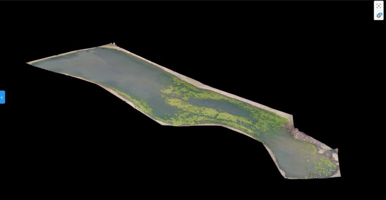
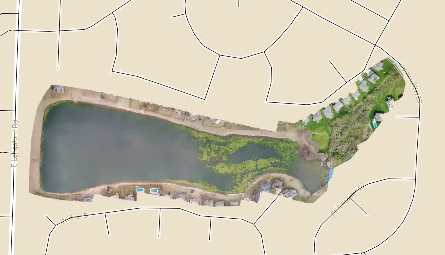
One of the first major projects that we took on was creating a map to survey agile spread and water damage a local lake neighborhood.
Take a look at some of the work we have done in this case study
Lorem ipsum dolor sit amet, consectetur adipiscing elit. Ut elit tellus, luctus nec ullamcorper mattis, pulvinar dapibus leo.